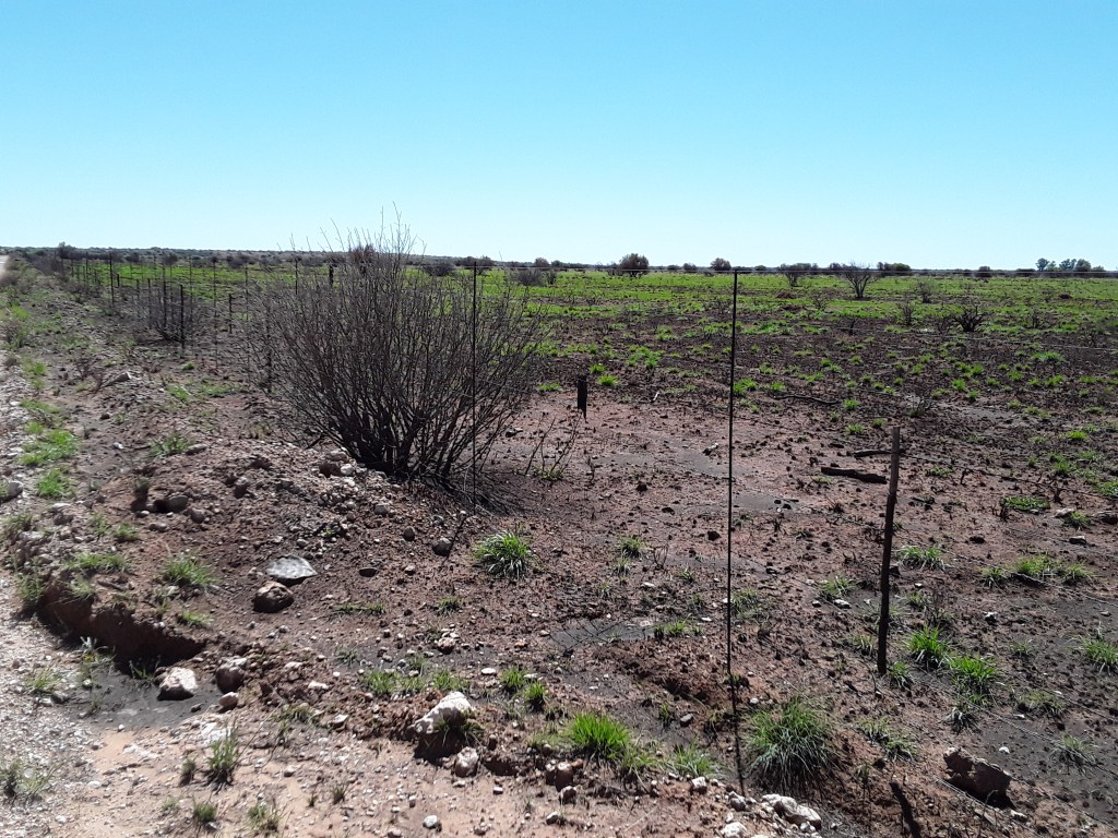
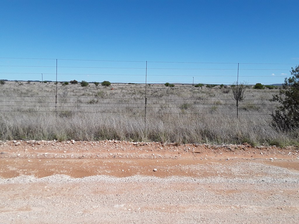
A considerable fire has recently burned large areas around Kimberley burning the old , dry grass (see next picture) and supporting the resprouse of new grasses. We expect to be able to monitor the development using the ESA Sentinels (Photo: J. Baade 2021-10-30).The view to the opposite side of the road which was not affected by the fire (Photo: J. Baade 2021-10-30).
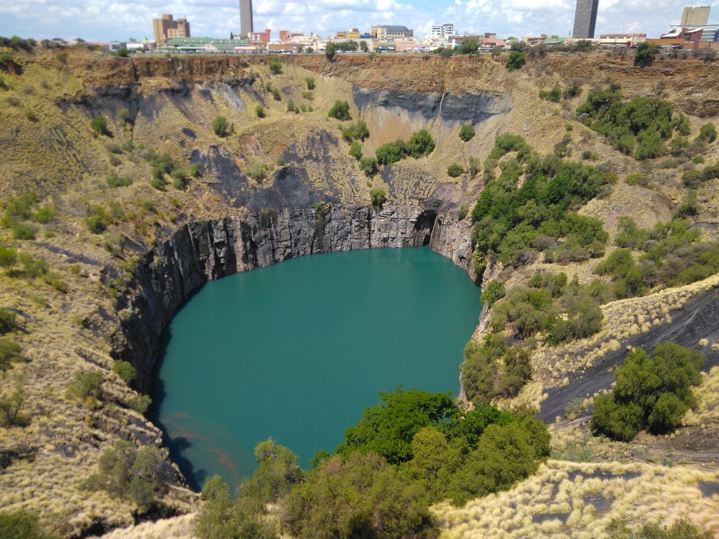
The Big Hole in Kimberley – already decomissioned in 1914 (Photo: J. Baade 2021-1029), symbolizing the exploitation of the Earth, and symbolizing as well land degradation. … and all of this because ‚Diamonds Are a Girl’s Best Friend‘ (Robin 1949).
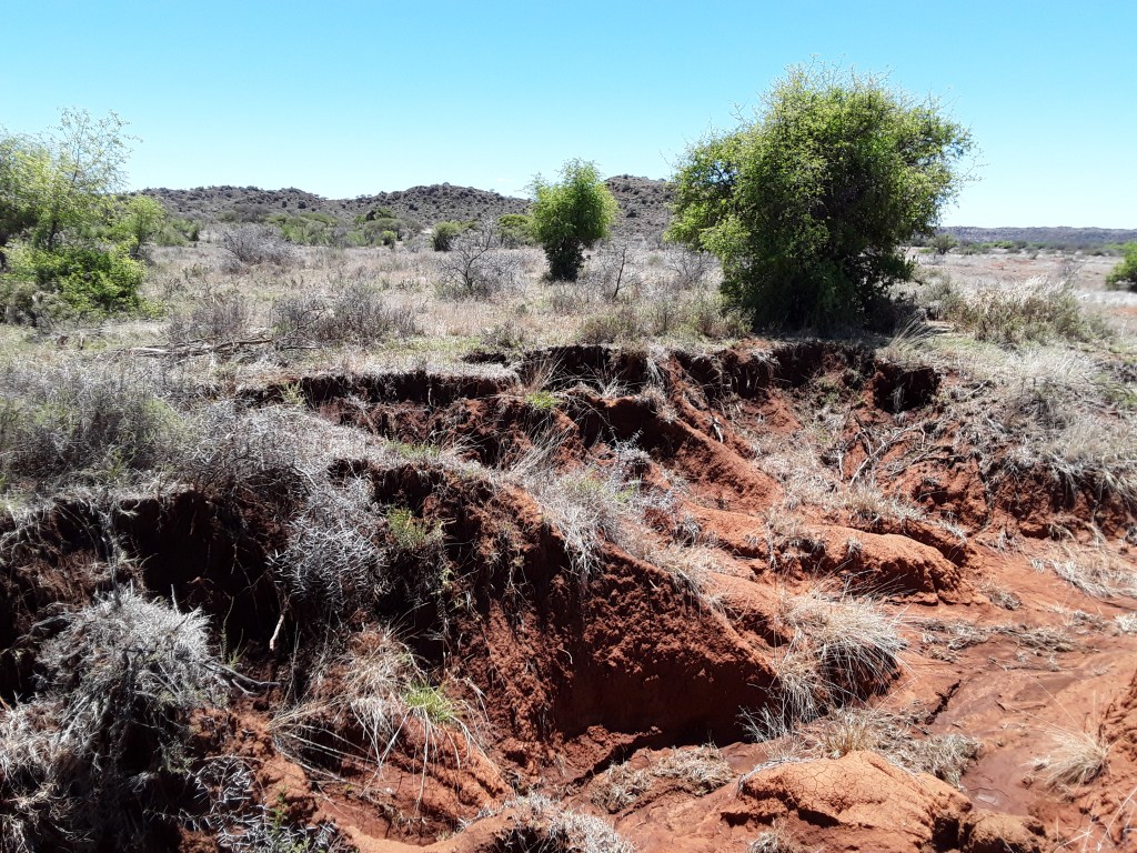
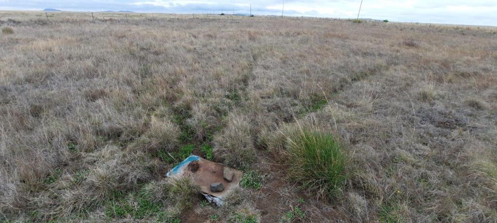
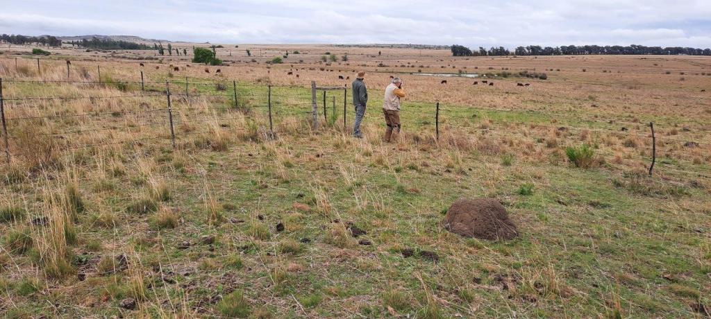
Validating remote sensing spatial patterns in rangeland close to Wepener in the Free State Province. Learning how grazing practices and past land use determin present day patterns in grassland (Photo: C. Schmullius 2021-10-28).